We may earn money or products from the companies mentioned in this post. This means if you click on the link and purchase the item, I will receive a small commission at no extra cost to you … you’re just helping re-supply our family’s travel fund.
Some trails hide their difficulty in plain sight. Not with cliffs or exposure, but with subtle turns, faint blazes, and junctions that arrive quicker than expected. Fog rolls in, leaves cover tread, and every ridge looks like the last. Fall colors make navigation prettier and trickier at once, while spring runoff redraws creek crossings overnight. What this really means is simple. Good judgment beats bravado, maps matter, and a quiet plan turns a maze into a memorable walk rather than a rescue call.
Shining Rock Wilderness, Pisgah National Forest, North Carolina
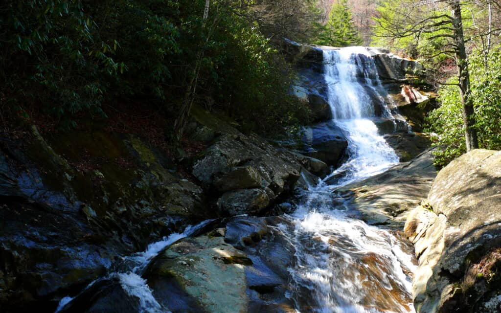
Unblazed footpaths on white quartz ridges split and rejoin like braided streams, and heath balds hide junctions in waist-high green. Old fire scars make landmarks look alike, while fog creeps fast over Cold Mountain and Black Balsam. Springs shift tread in wet months, and social trails lead to dead-end ledges with grand views. Paper maps, careful bearings, and time checks keep the day honest, because signage stays minimal by design in this designated wilderness.
Devil’s Path, Catskill Forest Preserve, New York
Steep scrambles steal attention from the quieter challenge here: herd paths, side ledges, and spur trails that mimic the main line. Between Indian Head and Plateau, blazes can hide in shadow, and leaf litter blanks tread in late fall. Water bars and rock steps look like junctions after rain, inviting small detours that compound over hours. Seasoned locals count drainages and cols, not just miles, and treat each viewpoint spur as a possible time sink with sore quadriceps to match.
Adirondack High Peaks Herd Paths, New York
Trailless summits in the Santanonis and Sewards lure hikers onto faint tracks braided by decades of feet. Bogs swallow footprints, detours skirt blowdown, and a dozen reasonable lines exist where one would be kinder. Summer canopy flattens light, so the wrong drainage feels right until it’s not. Marsh crossings shift with beaver work, and mud sets the tempo. Competent parties keep bearings, read contours, and accept slow progress as part of the deal in this classic navigation classroom.
Red River Gorge Trails, Daniel Boone National Forest, Kentucky
Official routes weave among a dense web of user paths to arches, overlooks, and cliff lines. Sandstone corridors echo turns, pines mask sightlines, and side tracks end at drop-offs that demand a retreat and a rethink. After storms, leaf fall disguises tread, and cairns arrive more by enthusiasm than plan. Bridge outages or seasonal closures shuffle loops with little warning. Smart walkers treat arches as destinations, not compass points, and backcheck junctions like a habit.
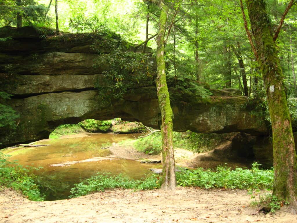
Minister Creek Loop, Allegheny National Forest, Pennsylvania
A friendly trailhead hides a rocky maze where boulders, spurs, and campsite paths splice into the main loop. Blazes pull around outcrops, then vanish behind moss or a fallen hemlock, and every side path promises a view that may be a dead end. In summer, ferns erase footprints by midday. After rain, slick rock encourages conservative choices. The best approach stays simple: confirm direction at each creek bend, note the big boulder gardens, and expect extra minutes at every split.
Porcupine Mountains Wilderness, Michigan
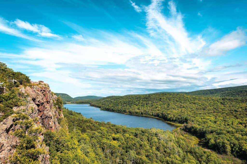
The “Porkies” carry an old-school network where signage thins deep in hardwoods and cedar swamps. Beaver floods move crossings, spring melt rearranges mud, and spur trails to Lake Superior overlooks branch like antlers. Map lines and reality part ways near creeks, then reunite without apology. Fog drifts in from the lake and compresses distance until sound does more than sight. Parties that mark time and read drainages tend to finish exactly where the car lives, boots wet but spirits steady.
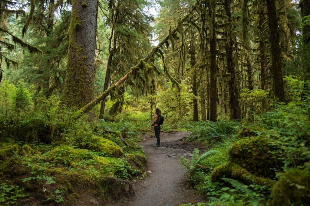
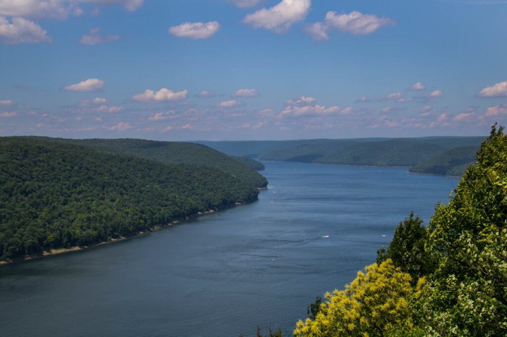
Queets River Corridor, Olympic National Park, Washington
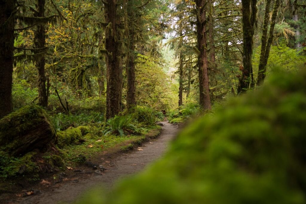
This forest rewards patience more than pace. The first obstacle is a river ford that decides whether the day even begins. Beyond it, downed giants redirect tread, elk paths look official, and moss softens every edge until blazes feel optional. Fog hangs under bigleaf maple, and side creeks grow teeth after storms. Cairns wander, logs shift, and the correct line often lives a few yards off what seems obvious. Creek levels and turn times, not miles, define success here.
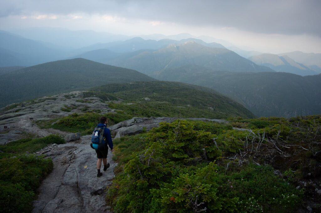
Timberline Trail, Mount Hood National Forest, Oregon
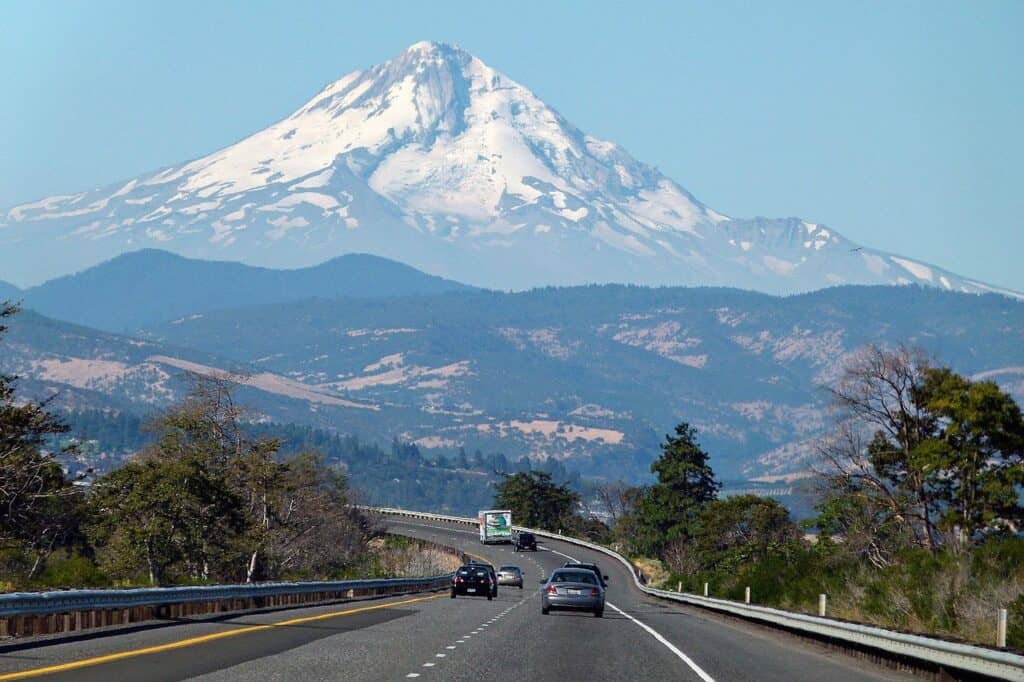
A famous loop still confuses with reroutes after washouts and seasonal snow hiding tread long into summer. Lateral canyons demand judgment, since crossing points shift with melt and recent storms. Forested sections cloak junction signs in shade, and wrong spurs drop toward ski roads before turning stubbornly uphill again. Party rhythm depends on creek timing, not a watch. Clear weather and a current report help, but a good eye for contours remains the difference between flow and flailing.
Gila Wilderness, Gila National Forest, New Mexico
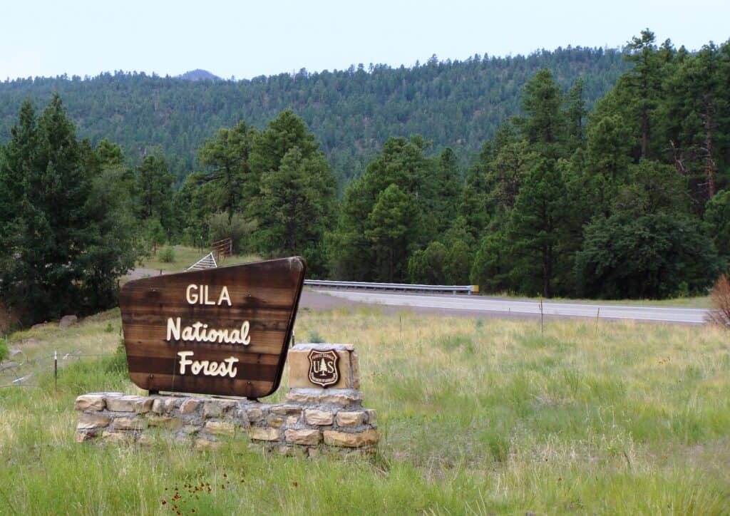
Stock trails braid through ponderosa and riparian corridors, then vanish at sandbars as if a ranger planned the trick. Fire scars reroute tread without warning, cairns multiply like rabbits, and canyon walls bounce sound until direction feels slippery. Springs alter water decisions, which alters pacing, which alters navigation. It is a thinking person’s forest, quiet and generous to careful travelers. Counting side canyons, minding slope aspect, and honoring daylight turn a labyrinth into a long, satisfying loop.
Ramsey’s Draft Wilderness, George Washington National Forest, Virginia
Unmaintained trails wander beside and inside their namesake creek, and frequent fords erase footprints before anyone learns from them. Old road beds invite detours, blowdowns force creative line choices, and ridge spurs agree to reunite only after stealing an hour. Blazes fade to memory in the core, by design, and a map becomes a conversation rather than a script. Parties that log junction times and creek crossings in a small notebook tend to smile at the car.
Dolly Sods Wilderness, Monongahela National Forest, West Virginia
Meadows, bogs, and red spruce flats create wide corridors where a dozen faint tracks look equally convincing. Fog sets up fast, rocks hide under blueberries, and beaver work edits maps midseason. Junction posts lean at odd angles or rest in grass, and social trails to overlooks return to the main line a quarter mile off. The terrain is generous, the views enormous, and the navigation subtly demanding. Bearing checks and patience make the magic feel earned rather than borrowed.
Other Blog Posts You Might Enjoy
www.idyllicpursuit.com (Article Sourced Website)
#Americas #Confusing #Forest #Trails #Author #Kathy #Haan