We may earn money or products from the companies mentioned in this post. This means if you click on the link and purchase the item, I will receive a small commission at no extra cost to you … you’re just helping re-supply our family’s travel fund.
Winter Storm Fern is pushing a rare mix of heavy snow, damaging ice, and Arctic cold across a huge slice of the United States, disrupting travel well beyond the usual snow belt. Forecasts describe “catastrophic” icing in parts of the South and major snowfall from the Plains into the Mid-Atlantic and Northeast, with widespread alerts posted for dozens of major metros. The hardest-hit places are the ones where timing, terrain, and infrastructure collide: ice on overpasses, snow during peak traffic, and cold that prevents a quick thaw.
Dallas, Texas
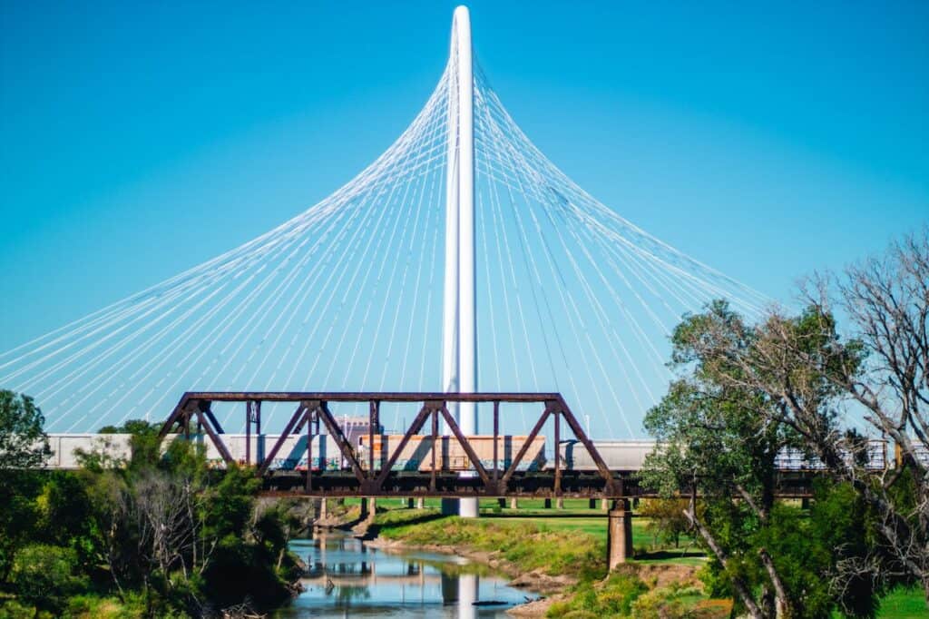
Dallas sits near the storm’s ice bullseye, where freezing rain can glaze bridges and flyovers, especially untreated overpasses, before crews can keep pace and before drivers realize traction is gone. Forecasters have warned the metro could see around 0.5 inch of ice, the kind that snaps limbs, drops power lines, shuts traffic lights, and turns elevated ramps into gridlocked skid zones while temperatures stay pinned below freezing. When Arctic air pours in behind the rain, that sheen can linger through the weekend, delaying airport de-icing and emergency response, stretching outages, and keeping roads slick while wind chills sink into the teens.
Austin, Texas

Austin’s winter trouble is usually ice, not deep snow, and this storm is stacking freezing rain onto hills, bridges, and shaded lanes that can stay slick long after precipitation ends in pockets across the metro. Local warnings have highlighted ice accumulation that can reach about 0.25 to 0.5 inch, enough to take down limbs, knock out power, and turn the city’s flyovers into slide zones while temperatures dive into the teens and wind chills bite. When that glaze locks onto pavement, airport ground operations, emergency runs, and even grocery trips slow down, and restoration drags because crews cannot safely work fast around iced trees and lines.
Oklahoma City, Oklahoma

Oklahoma City is staring at the storm’s heavy-snow core through the weekend, with forecasts calling for totals that can approach a foot, plus a glaze that makes plowing and braking far less forgiving. Snow that deep hides lane markings, packs into ruts, and covers shoulders and curbs, piling into drifts along open interstates and flyovers, then refreezing like concrete when the Arctic air behind the system pushes temperatures toward single digits. Wind can push powder across I-40 and I-44, dropping visibility in bursts, and a single jackknifed truck can lock the corridor, turning routine commutes into hours-long crawls while tow response slows on ice.
Nashville, Tennessee

Nashville sits in the storm’s messy transition zone, where snow can flip to sleet and freezing rain, then back again, turning the city’s ridgelines and neighborhood grades into slide zones in minutes. Forecasters have warned of severe icing potential across the Tennessee Valley, a setup that snaps branches, strains power crews, and makes bridges, ramps, and the I-40/I-65 corridors treacherous even when accumulation looks modest. Because cold air follows close behind, slick pavement may not thaw during daylight, so delays stack across schools, deliveries, and airport ground handling while crews fight both ice, wind, and scattered outages.
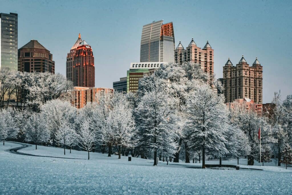
Atlanta, Georgia
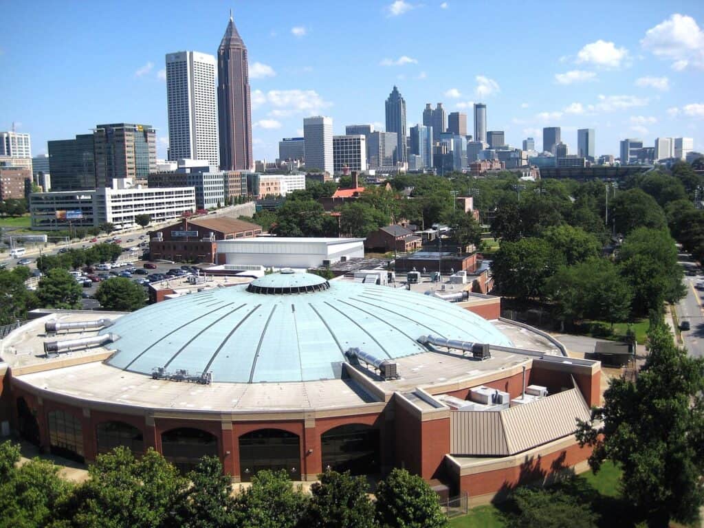
Atlanta is bracing for a southern-style ice storm, where a little freezing rain causes outsized damage on roads built for speed, not traction, and where a single crash can lock an entire interchange. A National Weather Service briefing warned of major to extreme impacts from significant ice, with dangerous or impossible travel and the threat of widespread power outages, especially across north and northeast Georgia, where ice can accumulate on trees and lines. As the region’s major air hub, the metro also feels disruption at the airport, and cold air behind the system keeps bridges, ramps, and neighborhood streets slick long after precipitation ends.
Charlotte, North Carolina
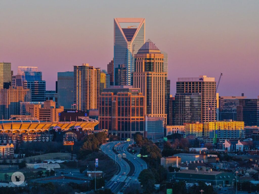
Charlotte often sits near the storm’s rain-snow line, and that boundary is where roads get most deceptive: wet pavement can flash-freeze on overpasses the moment temperatures dip. Forecast alerts have included the city in the winter storm zone, where a mix of snow, sleet, and freezing rain can arrive during normal traffic and turn I-77 and I-85 into slow, sliding corridors while planes and ground crews at the airport fight icing. If ice coats trees, outages can follow, and the cold behind the system slows cleanup, so the hardest hours are the pivots, when side streets turn glassy and conditions change faster than travel plans can in seconds.
Cincinnati, Ohio
Cincinnati often becomes a hinge point in big storms, where snow bands set up over the Ohio Valley and totals climb quickly while people are still commuting and trucks are still trying to run schedules. Winter storm alerts have highlighted disruptive travel in the region, and the city’s hills, bridges, and river-valley interchanges make even treated roads vulnerable once snow compacts, slush refreezes, and visibility drops in bursts. As colder air pours in, overnight ice hardens ruts and hides black ice on shaded slopes, so a routine drive can shift from slow to stuck, with spinouts blocking narrow lanes and delaying plows for hours at once.
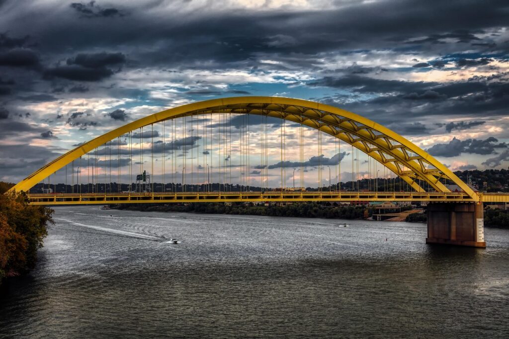
Pittsburgh, Pennsylvania
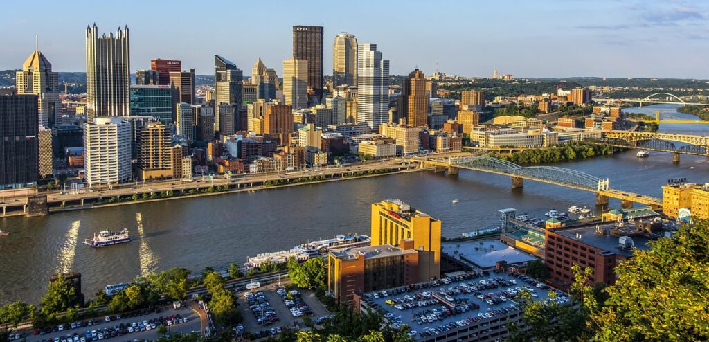
Pittsburgh’s winter risk is amplified by geometry: steep streets, tight curves, and bridges layered over rivers that freeze slush into slick patches where tires lose grip without warning. Forecast zones have included the city in the storm’s major alert corridor, and bursts of accumulation can overwhelm neighborhood roads and stair-step hillsides faster than salt trucks can loop back, especially during evening travel windows. Once colder air arrives, meltwater refreezes on shaded inclines, and small crashes can block narrow routes, so delays stack across tunnels, parkways, and emergency response while crews fight both snow and a quick freeze.
Washington, D.C.

Washington, D.C., is bracing for disruptive snow that can shut down federal corridors and snarl the beltway in a single afternoon, especially when commuters are still moving between Virginia and Maryland. Forecasts have called for 4 to 8 inches in the capital region, and officials have flagged high-clearance support so first responders can move if streets become impassable and plows cannot keep up everywhere at once. The metro’s stress point is timing: snow arriving during peak travel windows multiplies crashes, then cold air locks in slippery surfaces across bridges, hills, sidewalks, and rail platforms, delaying recovery past the final band.
Philadelphia, Pennsylvania
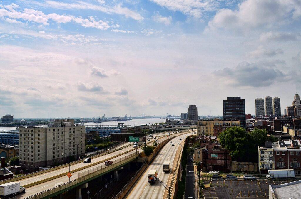
Philadelphia’s storm pain often comes in phases: wet snow that piles up quickly, then a hard freeze that turns slush into uneven ice across crosswalks, curb cuts, and bridge decks. Forecasts have targeted the Mid-Atlantic for significant accumulation, and the city’s dense grid means a few blocked ramps can back up entire corridors from I-95 to the Schuylkill while SEPTA delays ripple and airport ground crews fight icing. When snow is heavy and wind-driven, cleanup takes longer, and a sharp temperature drop can lock snowbanks in place, keeping side streets narrow, slick, and slow well after the last band passes, especially overnight into Monday.
New York City, New York

New York City can clear snow quickly, but a major storm strains the system when heavy bands arrive alongside bitter cold and strong winds that keep surfaces frozen for days. Forecasts have pointed to significant snowfall in the Northeast, and city agencies have prepared large-scale plowing, yet the real hazard often shifts to sidewalks, stairs, and rail platforms where slush refreezes into uneven ice and where foot traffic never stops. Airports and commuter lines feel the pressure fast, and blowing snow can cut visibility on bridges and parkways, turning a normal Sunday into a regionwide slow-down that lingers into the workweek at street level.
Boston, Massachusetts
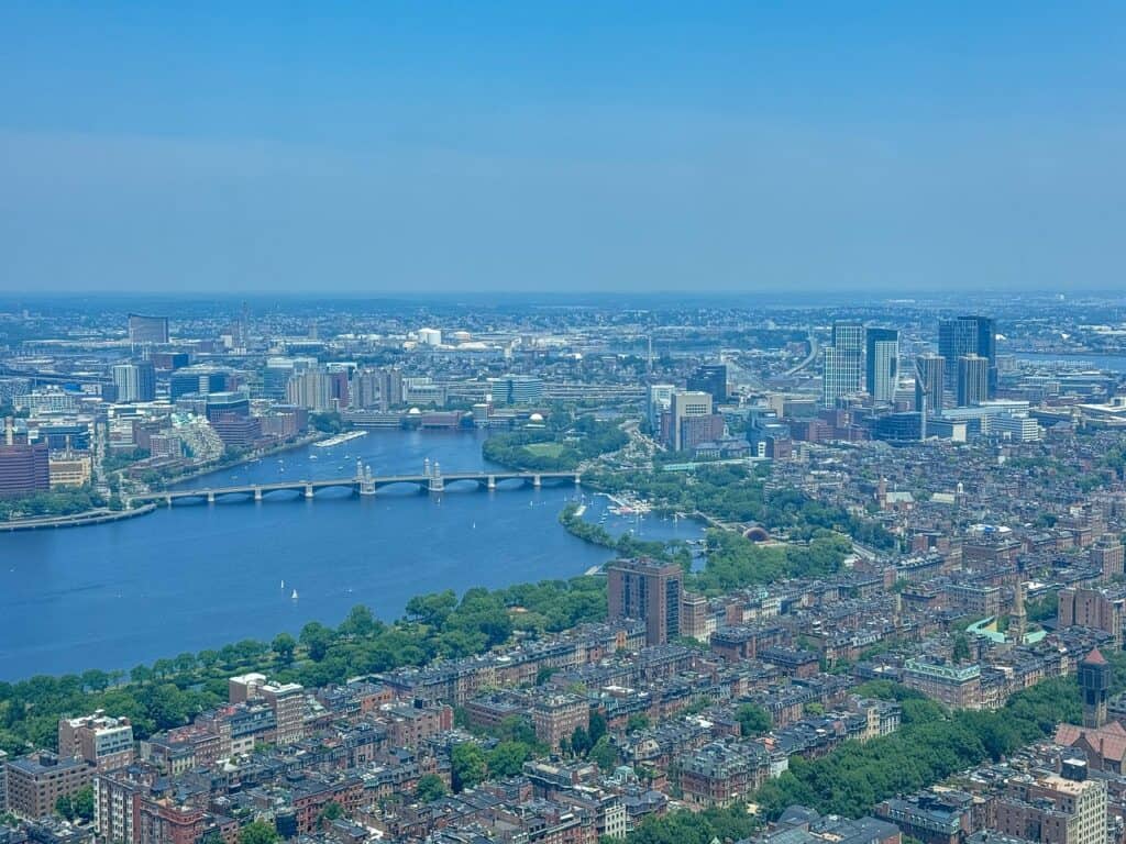
Boston is accustomed to winter, yet nor’easter-style storms still disrupt the city when snow piles up faster than crews can remove it from narrow streets and when coastal wind keeps refilling cleared lanes. Forecasts have included Boston among the major East Coast hubs expecting significant snowfall, and that quickly affects Logan operations, tunnel traffic, and neighborhood parking rules that turn into tow-and-plow logistics in hours for commuters. Wind off the harbor can drive snow into drifts and cut visibility along exposed routes, and a hard freeze after the storm turns packed snow into stubborn ice that lingers well beyond the headline day.
Other Blog Posts You Might Enjoy
www.idyllicpursuit.com (Article Sourced Website)
#U.S #Cities #Avoid #Hit #Hardest #Massive #Winter #Storm #Idyllic #Pursuit